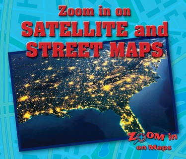
Zoom in on Satellite and Street Maps

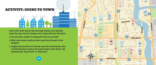
This visual and instructive look at satellite maps and street maps helps readers understand the symbols, road markings, and land features of these types of maps. Concentration on a smaller area helps readers really study them carefully. A follow-up activity encourages readers to draw their own street map of their town or neighborhood.

RL
Grades
2
IL
Grades
K-4
GRL
G
Details:
Product:
ISBN: 978-0-7660-9225-9
Author: Kathy Furgang
Copyright: 2018
Reading Level: Grade 2
Interest Level: Grades K-4
GRL: G
Dewey: 912.01/4--dc23
Pages: 24
Dimensions: 8 1/2" x 7 1/8"
Activities, Detailed Table of Contents, Fact Boxes, Full-Color Photographs, Further Information Section, Glossary, Index, Sidebars, Maps, Websites

Rosen Publishing Group Licensing

The Rosen Publishing Group reserves all Large Language Model and Small Language Model-related rights.
Please contact The Rosen Publishing Group with licensing inquiries.